
This multi-faceted project involved three main parts: Street Tree Inventory, Greenspaces Inventory, and Canopy Assessment and supporting Urban Forestry Analysis. Read plan here.
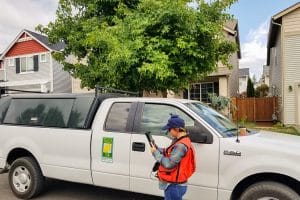
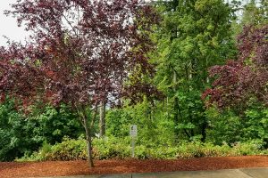
Street Tree Inventory: We gathered tree metrics on many of Tumwater’s street trees (~3500 trees), including location, species, height, DBH, condition, maintenance needs, etc. This involved developing a work flow that allowed for field collection of data on tablets, that then sync with our online web map, and can be post processed on ArcGIS locally. The data collected was analyzed to provide some useful geospatial statistics, such as number of trees by zone or neighborhood, species diversity, maintenance needs by tree type, etc.
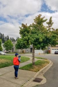
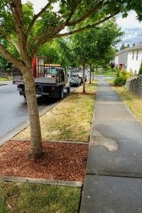
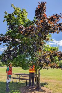
Greenspaces Inventory: We used a modified version of the Forest Landscape Assessment Tool (FLAT) to assess and inventory publicly owned greenspaces (parks, stormwater ponds, fields, whatever). We gathered data on plant communities, invasive plant species presence, land type/use, etc. Using the gathered data, we created a database storing their locations and breaking them up into Management Units to aid with future management.
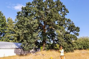
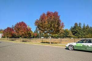
Canopy Assessment: Using aerial imagery and LiDAR, we determined approximate canopy cover for City of Tumwater and its Urban Growth Area. Analysis of this data allows for setting canopy cover goals by zone or neighborhood.
Do you require any of these services or have a similar project you would like our help with? Call or email us today and we can start a conversation!